Big bucks


Public Land Deer Hunting
Some of the hardest deer to hunt are those on public land. Hunters are always looking for the easiest access into the woods and stick close to the access roads. With the DeerBrain heat map generator option hunters will be able to identify the hardest to reach locations where the big bucks often run for security.
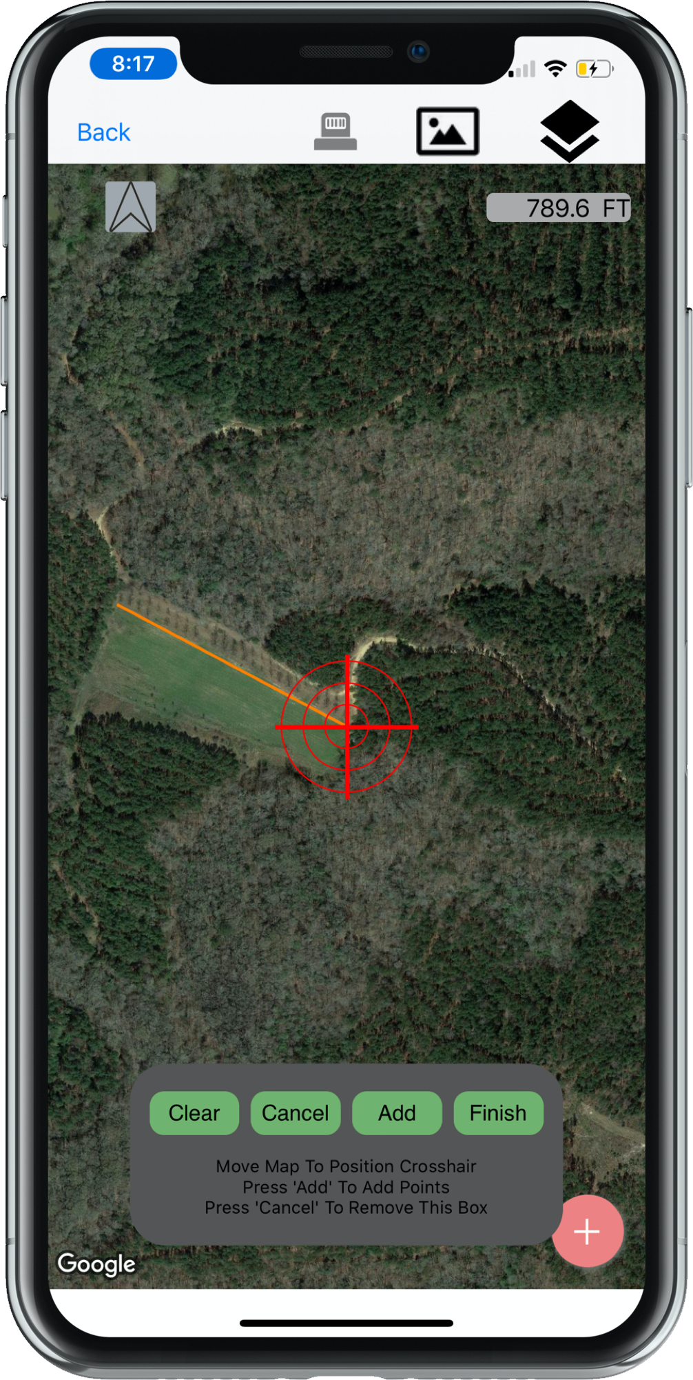
Helpful Hint- By using the satellite imagery you can zoom in and draw in most of the access roads.
Find Where Hunters Are Not (That's where the Deer Are)
As gun shots ring out on opening day of rifle season. The deer know where the hunters don't visit. Deer will naturally move to the most remote areas of a property. Some times those remote areas aren't where you think they are due to the access.
DeerBrain's heat maps lay out the property in a way for you to easily see those remote areas and find that wall hanger.
Personal Story - On a public land hunt in 2018 that took 4 years to get drawn for. I hiked 1.5 miles back down a trail into what I thought was going to be the most remote area of the property. Only to find 6 other hunters that had the same thought. None of us ended up killing a deer on that hunt and the pressure we placed made the hike worthless. After shifting gears and evaluating the property in the way DeerBrain custom heat maps work, allowing you to draw in roads and mark tree stands, I was covered up in Deer.

Deer Hunting Lease Member
Are you ever looking for a place on your hunting lease that nobody or very few people hunt? DeerBrain's custom mapping can help you identify the areas on the map furthest from other hunter's tree stands. You can pinpoint tree stands and access roads on the property map. Then using the heat map option you'll be able to view less traffic areas for hunting.

Area Measurements
Accurately measure the area of any shape. This is a must have to calculate acreage for accurate food plot estimates.

Map Markers
Detail your hunting area with 30 different map markers from stands to parking areas to traps.
Distance Measurements
Utilizing the distance measurement tool you can measure the distance between any two points.